Seawall and dock service area: Daytona Beach and coastal Volusia County
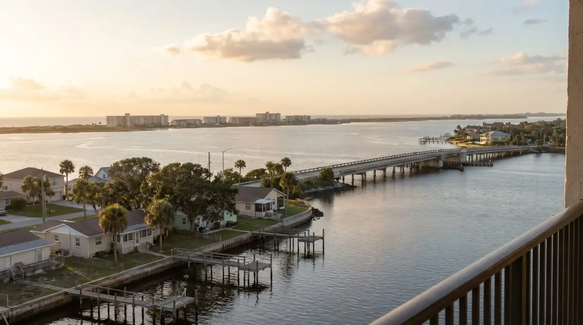
Calls and requests from these towns go to a local seawall and dock pro who works in Volusia County:
- Daytona Beach. On both sides of the Halifax River. Ian's storm tide reached about 8 feet here in 2022, and the city's dock limit was 500 square feet in the county's 2020 survey.
- Ormond Beach. At the north end of the river, where NOAA's Halifax River station shows an average tide range of only about 0.59 feet. Docks are limited to 660 square feet in the Tomoka Marsh preserve and 680 elsewhere.
- Port Orange. On the mainland south of Daytona, near Spruce Creek, an Outstanding Florida Water with a smaller state dock limit. The city caps a dock's end platform and boathouse at 560 square feet.
- Holly Hill. On the mainland shore of the Halifax between Ormond Beach and Daytona Beach, with an 800-square-foot dock limit in the county's 2020 survey.
- South Daytona. On the mainland shore between Daytona Beach and Port Orange. It wasn't in the county's 2020 dock survey, so check the city code for size limits.
- Daytona Beach Shores. On the barrier island between the river and the ocean, where NOAA puts the ocean tide range at about 3.9 feet. Most of the oceanfront walls destroyed here in 2022 were more than 30 years old; docks are capped at 400 square feet.
- Ponce Inlet. At the south tip of the island, where the river meets the ocean and the tide range inside the inlet is about 2.75 feet. The town allows 1,000 square feet for all waterfront structures together.
- New Smyrna Beach. South of the inlet. Florida's post-storm report found no seawalls destroyed in the New Smyrna Beach area in 2022, where newer walls built after Hurricane Jeanne held up.
- Beachside communities. Ormond-by-the-Sea and Wilbur-by-the-Sea, unincorporated stretches of the barrier island where the county's 750-square-foot dock limit applies. Wilbur-by-the-Sea was among the places where old oceanfront walls were destroyed in 2022.
Not sure whether you're in the area? Call and ask.
Call (386) 333-6570Rather not call? Send the detailsCalls are answered weekdays, 9 to 6. After hours, leave your name, address and what's going on, and you'll get a call back first thing the next business day.
Why does seawall and dock work differ along the coast?
The Halifax River is a 23-mile tidal lagoon between the mainland and the barrier island. Near Ponce Inlet the tide moves well over 2 feet twice a day; by Ormond Beach it moves about half a foot. Walls and docks near the inlet take more current and more tide through every joint, while upriver docks sit at a steadier water level. Walls facing the ocean are a different job again, with their own state coastal permits.
The rules change from town to town as well. Each city sets its own dock size limit, and the Tomoka River at the north end and Spruce Creek at the south are Outstanding Florida Waters, where the state's dock exemption is halved to 500 square feet. Everywhere in the county, a new dock or slip goes through Volusia's manatee review. Thepermits guide covers each step.
What jobs come from these towns?
The usual calls are the same up and down the river: a seawall losing soil,a cracked cap, an old wall to replace,a new dock, dock repairs, or a boat lift that won't run.
Sources: St. Johns River Water Management District, Halifax River (2019) (source); NOAA tide datums, Ormond Beach, Halifax River (source); NOAA tide datums, Ponce Inlet, Halifax River (source); NOAA tide datums, Daytona Beach Shores, Sunglow Pier (source); Florida DEP, Hurricane Ian and Nicole post-storm report (revised Aug 2023) (source); Volusia County, Dock regulations memo (Jan 2020) (source); Florida Administrative Code 62-302.700, Outstanding Florida Waters (source); Florida DEP, Tomoka Marsh Aquatic Preserve (source); Volusia County, Manatee protection plan: single-family residence (source).
Last reviewed November 1, 2026.
Rather not call? Send the details
A local seawall and dock pro will call you back.